Skip to content

Maplure · AI map animation makerMake Maps That Move.

Turn locations, journeys and geographical stories into cinematic animations. Create, customize and export professional map videos without complicated editing software.

No account needed. Your work saves in this browser.

How Maplure works

  1. 1

    Describe it or build it

    Write what should happen, add a trip stop by stop, or open a template.

  2. 2

    Shape the story

    Choose the map style, move the camera and adjust every step on the timeline.

  3. 3

    Export the video

    Download it for YouTube, Reels, Shorts or your own edit.

An editor made for maps

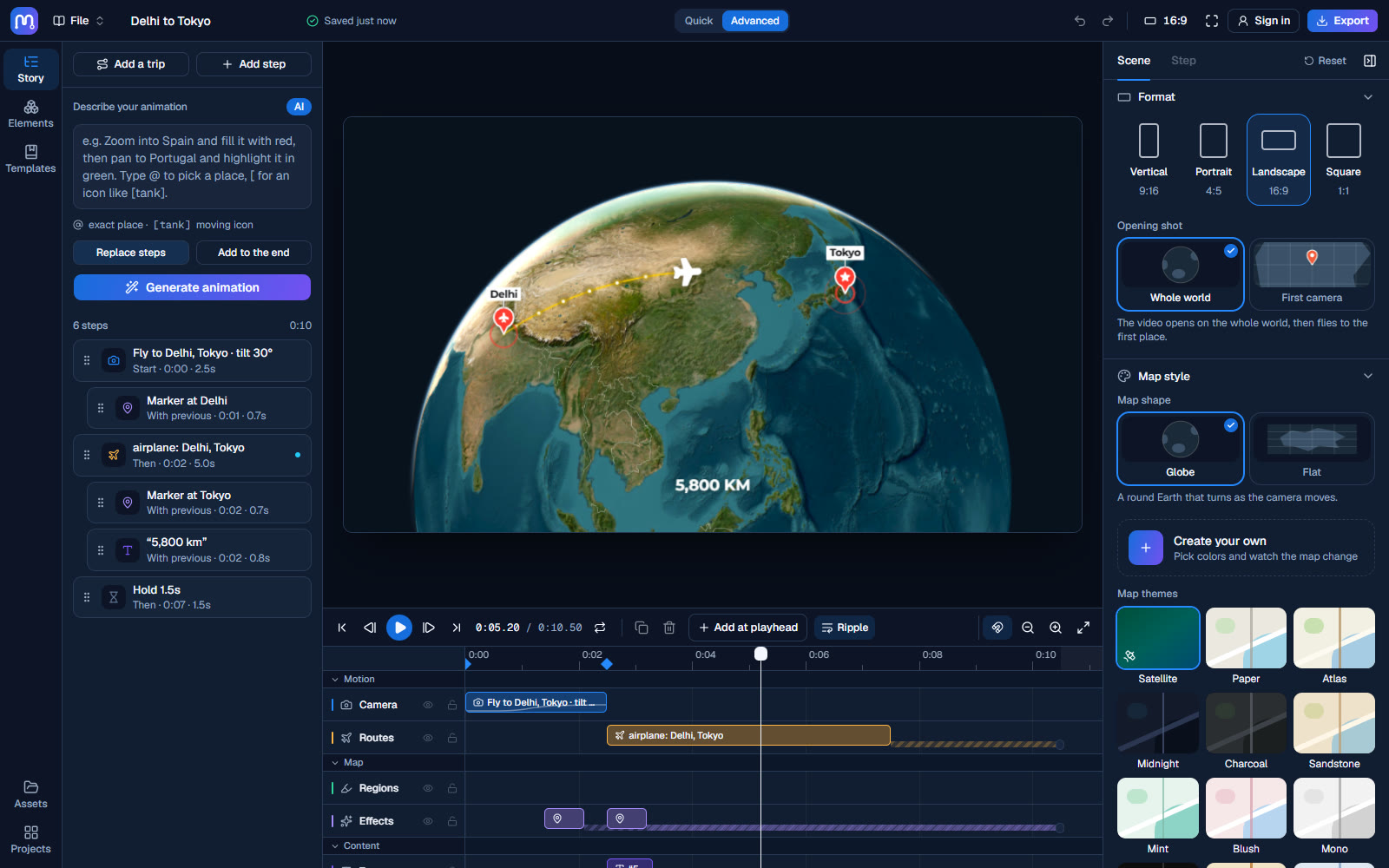
Everything sits on one timeline, and every step stays editable, including the ones written for you.

The Maplure map animation editor with a story on the timeline, a map preview and the inspector
A real timeline
Drag, trim and snap every camera move, route, region, label and sound.
Routes that follow the world
Flights arc, drives and walks use roads, ships take real sea lanes.
Camera control
Fly, orbit, tilt, chase a moving icon or reveal a place from the globe.
Countries and regions
Fill with colour or a flag, draw animated borders and tint the land.
Text that tells the story
Captions, callouts, leader lines, info panels and counters.
3D and film looks
Terrain, buildings, sky, satellite grading, dust and grain.

Made entirely in Maplure

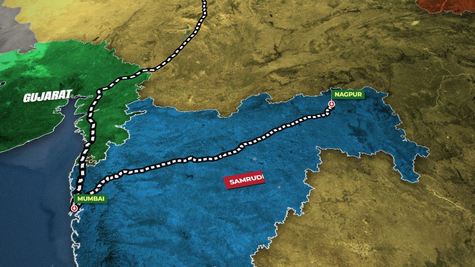
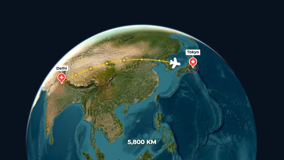
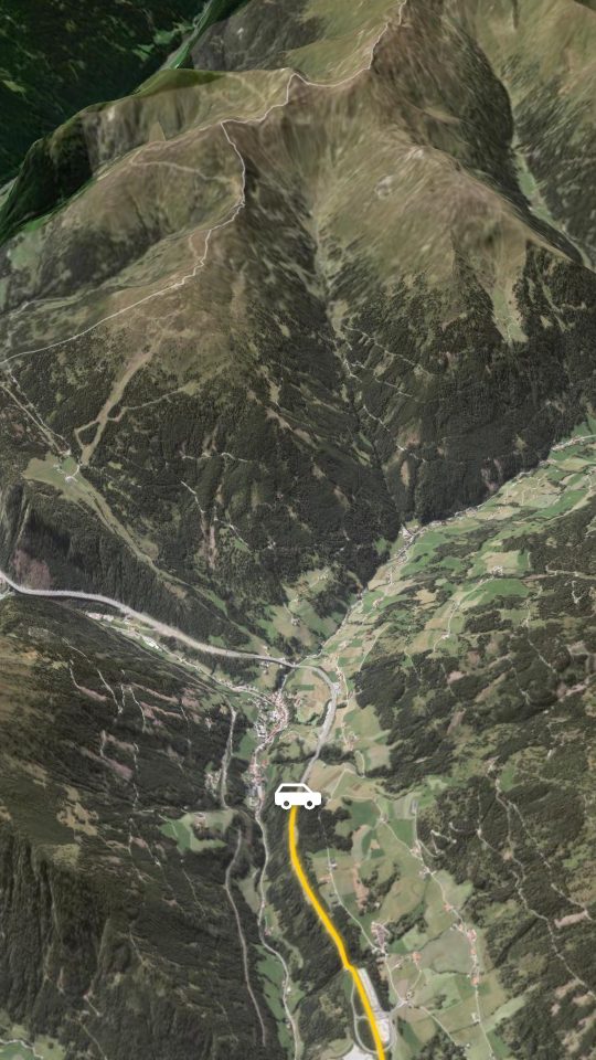
These clips are real Maplure exports, shortened for this page.

Ready for wherever it's going

Export right in your browser, in the shape and format your channel needs.

  • MP4 H.264 up to 4K at 60 fps. Plays everywhere.
  • WebM VP9 up to 4K, with a transparent background for overlays.
  • GIF Up to 720p, for chats and documents.
  • PNG A single frame, or every frame as a zipped sequence.
  • All four shapes Vertical, portrait, landscape and square in one ZIP.

Maplure.com, the map animation maker for stories about places

Maplure.com is online map animation software for anyone who needs to show where something happened, how a journey went or how a region changed. You describe the animation in a sentence or build it step by step, and Maplure turns it into a map video you can download and drop into your own edit. It runs in the browser, so there is nothing to install, and you can start without an account.

Map animation with AI

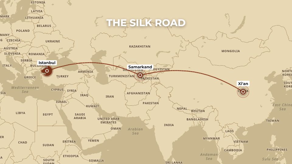
Most map videos start as a plain idea: fly from London to New York, highlight France, follow the Silk Road east. In Maplure you type that idea into the prompt box, and the AI writes it out as a timeline with the camera moves, routes, labels and region fills already in place. It is map animation from AI that you can still edit. Every step it writes stays on the timeline, so you can change its timing, colour or wording by hand. Longer briefs work too: split a script into timed scenes, ask for a three second pause or set the total length, and the map animation generator follows it. Type @ to pick an exact place, so two towns with the same name never get mixed up. With no AI model connected, a built-in parser still understands phrases like “zoom to Japan” or “fly from Paris to Rome”.

A map animation editor with a real timeline

Under the preview sits a timeline that works like the one in a video editor. Each kind of step has its own track. Drag a clip to move it, drag an edge to trim it, and let it snap to other clips or to the playhead. Undo covers every drag, and you can step through the animation one frame at a time. Camera clips show their zoom curve, so you can see where a move speeds up and where it settles. This is what makes Maplure a map animation editor and more than an animated map generator: the first draft arrives quickly, and the details stay under your control. Open the editor to try it.

Routes, regions and moving icons

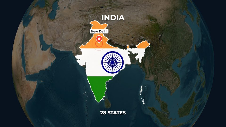
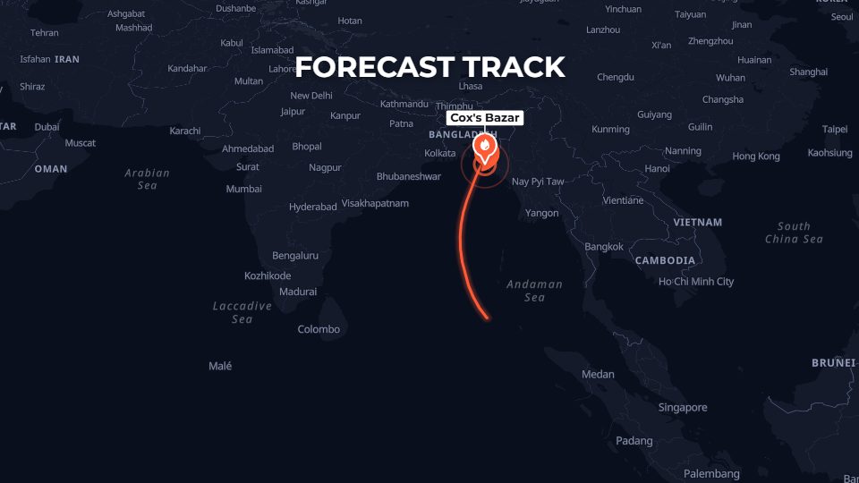
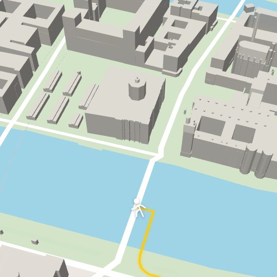
Routes follow the world as it is. Flights curve across the globe, drives and walks use real roads and footpaths, trains run on railways and ships take real sea lanes. A plane, truck, ship, helicopter or train can travel the route with a solid, dashed or glowing trail, alone or in formation. You can also import a recorded track from a GPX, KML, GeoJSON or CSV file, such as a run, a bike ride or the path of a storm. Countries, states, provinces and cities can be filled with colour or with their flag, given a border that draws itself on, or set apart by dimming everything around them. Captions, callouts, info panels, pinned labels and animated counters put names and numbers on the map.

Map styles, 3D terrain and film looks

Pick one of 19 map themes or satellite imagery, or make your own palette for land, water, roads and borders. Turn on real 3D terrain and buildings, add a sky at the horizon, and tilt the camera to look across a mountain range. A chase camera can stay low behind a moving icon, and a reveal can zoom from the whole globe straight down to one place. Documentary looks add an old paper map, relief shading, dust and film grain. Labels come in 28 fonts, with halos, shadows, glows and boxes.

Export animated map videos for any channel

When the animation is ready, Maplure works as a map video maker right in your browser. Export MP4 up to 4K at 60 frames a second, WebM with a transparent background for overlays, a GIF for chats, or PNG frames for compositing. Choose vertical for Reels, Shorts and TikTok, landscape for YouTube, square or portrait for feeds, or export all four shapes from one project in a single ZIP. Music and voiceovers go into MP4 and WebM files, and safe-zone guides show where an app’s buttons will sit over the frame.

Who uses this map video creator

Maplure is built for people who explain places. Travel creators turn an itinerary into a route the viewer can follow. History channels trace campaigns, trade routes and old borders. Journalists show where a storm is heading or where an event took place. Teachers walk a class through a country one city at a time, and analysts put figures on the map with counters and callouts. Each of these has a ready-made template you can open, change and export, so you can create animated maps without starting from a blank page.

Work from your AI assistant

Maplure Map Animator also connects to Claude, ChatGPT, Cursor, Gemini CLI and other apps that support MCP. Your assistant can build an animation, look at frames from it, fix what it sees and render a finished MP4, so you can make a map animation with AI from inside the chat you already use. The integrations page shows how to connect each one.

Your work stays with you

You don’t need an account to use Maplure. Projects save in your browser as you work, and you can keep a copy as a project file or a share link. Sign in when you want cloud saving, so your maps are there on another computer too.
Map animation FAQ

What map animation is, what Maplure costs, and how to make world, 3D and AI map animations online.

What does map animation mean?

A map animation is a video in which a map moves and changes to tell a story. The camera flies between places, routes draw themselves from one point to the next, countries light up and labels appear as they are mentioned. Travel videos, documentaries, news reports and lessons use map animation to show where something happened and how it unfolded.

What is Maplure?

Maplure is geographic animation software that runs in your web browser. It turns places, routes and regions into animated map videos that you can download as MP4, WebM, GIF or PNG.

Can I make a map animation online?

Yes. Maplure is an online map animation tool, so there is no Maplure software to download or install. The editor, the live preview and the video export all run in your web browser.

Is Maplure a map animation studio?

It works like one, inside your browser. Maplure has a timeline with tracks for the camera, routes, regions, text and sound, a live preview of the map, and settings for every step's colours, timing and style. You can plan, edit and export a whole map video in one place, without separate design or editing software.

Is the Maplure map animation maker free?

Yes. You can use the Maplure map animation maker without paying and without creating an account. Build your animation in the editor and export it as MP4, WebM, GIF or PNG. Exports carry no watermark unless you add your own.

Can I make a map animation with AI for free?

Yes. Type a description into the prompt box, for example “fly from London to Cairo and highlight Egypt”, and Maplure writes the steps onto the timeline at no cost and with no API key. Every step it writes stays editable, so you can change the timing, colours and text by hand.

Can I make a 3D map animation for free?

Yes. Turn on 3D terrain to raise mountains and valleys from real elevation data, add 3D buildings for city scenes, and tilt the camera for a view across the landscape. A chase camera can follow a plane, car or train low over the ground. The 3D features cost nothing, like the rest of the editor.

How do I make a world map animation?

Start on the whole globe and let the camera fly down to the first place, or turn the globe off for a flat world map. Draw flight arcs between continents, fill countries with colour or their flag, and add labels and counters. The Long-haul flight and Historic route templates are good starting points.

How do I make a map animation with AI?

Open the editor, describe what should happen, for example “fly from Delhi to Tokyo and draw the route”, and press Generate. Maplure writes the steps onto the timeline. Play it back, change anything you like, then export the video.

Do I need an account to create animated maps?

No. You can start creating straight away, and your work saves in the browser you use. Signing in adds cloud saving.

Which video formats can I export?

MP4 (H.264) up to 4K at 30 or 60 fps, WebM (VP9) with an optional transparent background, GIF up to 720p, and PNG as a single frame or a zipped sequence, in 16:9, 9:16, 4:5 and 1:1.

Can I use the videos in other editors?

Yes. Exports work in Premiere Pro, DaVinci Resolve, CapCut, Canva and any other video editor. A transparent WebM lets you lay the map over your own footage.

Your first map is a sentence away.

Describe a journey and watch it become a video.